
Atnaujintas knygų su minimaliais defektais pasiūlymas! Naršykite ČIA >>
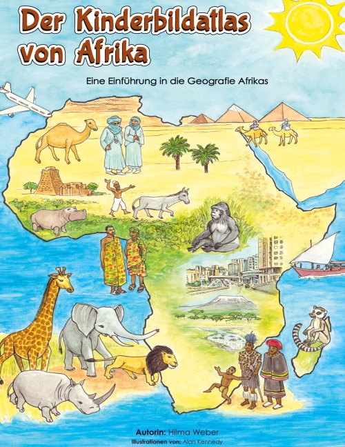
Der Kinderbildatlas von Afrika ist ein visueller und interaktiver Atlas für junge Leser, die den afrikanischen Kontinent erkunden möchten. Er deckt die reichen Kulturen und Traditionen, die Wildtiere und Naturwunder ab, die Afrika zu einem wirklich außergewöhnlichen Kontinent machen. Geschäftige Städte, malerische kleine Dörfer, lebendige Kunst und viele andere Besonderheiten, die diesen beeindruckenden Kontinent charakterisieren, sind hier wunderschön illustriert. The Children's Picture Atlas of Africa is a visual and interactive atlas for young readers wanting to explore the African continent. It covers the rich cultures, traditions, wildlife, and natural wonders that make Africa a truly an extraordinary place. The bustling cities, serene villages, vibrant art, and many other features that characterise this amazing continent are beautifully illustrated.
| Autorius: | Hilma Weber |
| Leidėjas: | Hilma Weber |
| Išleidimo metai: | 2024 |
| Knygos puslapių skaičius: | 54 |
| ISBN-10: | 395261291X |
| ISBN-13: | 9783952612910 |
| Formatas: | 286 x 221 x 8 mm. Knyga kietu viršeliu |
| Kalba: | Anglų |
Parašykite atsiliepimą apie „Die Kinderbildatlas von Afrika: Eine Einfu¿hrung in die Geografie Afrikas“
